|
|
|
| Missing In Action (MIA) | Prisoners Of War (POW) | Unexploded Ordnance (UXO) |
| Chronology | Locations | Aircraft | Ships | Submit Info | How You Can Help | Donate |
|
 Justin Taylan 2003 |
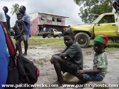
Location Lat 6° 44' 1S Long 155° 39' 41E Buin is located inland from the southern coast of Bougainville Island. Prewar and during the Pacific War, part of the Kieta District in the Territory of New Guinea. During the Pacific War, the Japanese refereed to entire southern coast of Bougainville as "Buin" for the area spanning from Buin in the east to Kangu, Kahili (Buin), Kahili Airfield (Buin Airfield), and Tonolei Harbor (Tonolai) to the west. Five kilometers to the north is Kara and Kara Airfield (Toripoil, Buin Airport). Postwar, known as "Buin" or "Buin Town", part of Bougainville Province or North Solomons Province. On September 16, 1975 became part of Papua New Guinea (PNG). On June 25, 2002 became the Autonomous Region of Bougainville (AROB). Wartime History During late 1942, occupied by the Japanese Army and developed into a base area with extensive fortifications. Between late 1942 until the middle of 1943, the area was heavily targeted by Allied aircraft and bombed. Buin remained under Japanese control until the official surrender of Japan in September 1945. American missions against Buin October 16, 1942–July 22, 1943 Postwar After the Pacific War, Buin Town was established at this location to be the new administrative center for southern Bougainville. Today Starting in 1988, Buin Town was ravaged by the "Bougainville Crisi" that began in this area when rebels attacked Papua New Guinea Defense Force (PNGDF) soldiers in the area and began the decade long crisis until 1992. Afterards, the town had only a limited number of vehicles, petrol and electricity is shut off at night. It is only connected by rough roads or southward via the Buin-Kangu Road to Kangu on the southern coast of Bougainville. Contribute
Information Last Updated
|
Map Fallingrain |
| Discussion Forum | Daily Updates | Reviews | Museums | Interviews & Oral Histories |
|